
Mierki: Road 603 and Historic Cemeteries
Accommodation in Mierki
Mierki can be understood through specific local and historical references: paved Road 603 runs through the village, a war cemetery lies in the center near the school, and the Szlagowski Pond is nearby, close to Kołatek. A 19th-century Evangelical cemetery adds to the historical points of reference. For your trip to Poland, this creates a picture shaped by road directions, remembrance, and the surrounding area near Kołatek. When choosing a place to stay, these topics can help you assess Mierki according to your own interests.
Road 603 as a point of reference
Paved Road 603 runs from Olsztynek through Mierki to Szczytno. It also leads to numerous recreation centers in scenic areas in the eastern part of Olsztynek municipality. The road number gives you a specific reference point for locating Mierki within the municipality; if you are traveling by car, you can use the sequence of place names for general orientation. The two details complement each other: the road’s route places Mierki between Olsztynek and Szczytno, while the description of the recreation centers points to the eastern areas of the municipality. This means that when choosing a location, you can consider both the route through Mierki and the broader geographical context.
Cemeteries and historical references
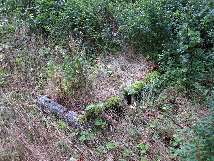
The war cemetery is in the center of Mierki, near the school. A total of 396 soldiers are buried there: 183 German and 213 Russian. Another historical point of reference is the 19th-century Evangelical cemetery in Mierki. The two sites can be distinguished by their different details: at the war cemetery, the number of soldiers buried there and their nationalities are the focus; the Evangelical cemetery is identified by its religious affiliation and the 19th century. Anyone interested in regional history will find two specific topics to explore when learning about Mierki. The war cemetery’s location in the town center near the school provides a precise geographical reference.
The Szlagowski Pond near Kołatek
The Szlagowski Pond is nearby, close to Kołatek and directly alongside Road 603. The named pond and the place name Kołatek thus add to the directions along the road that runs through Mierki. If you use maps to plan your trip, you can locate the pond using these two references: its proximity to Kołatek and its position directly beside Road 603. This adds a specific landscape feature in Mierki’s surrounding area to the town’s historical context.
Mierki in a route sequence
A listed route sequence places Mierki between Olsztynek and Kurki. Before Mierki, it lists Kanigowo, Podgórzyn, Nidzica, Działdowo, Uzdowo, Dąbrówno, Frygnowo, Stębark, Mielno, and Olsztynek; after Mierki come Kurki, Jedwabno, and Piduń. This sequence broadens the view beyond the village and helps place Mierki within a longer series of place names. This gives you two different points of reference for planning: Road 603, which runs through Mierki, and the listed sequence of places, in which Mierki follows Olsztynek and comes before Kurki. If you are putting destinations together on a map, this order can help you recognize and locate the place names.
Discover more destinations
Discover more destinations: Purda, Skolity, Zgnilocha, Olsztynek, Guzowy Piec, Lipowo Kurkowskie, Biedowo, Rybaki.
Go to the main travel overview: Olsztyn.

