
Kosewo
Accommodation in Kosewo
Kosewo lies between Lakes Probarskie, Kuc and Juksty. In the centre of the village, there is a municipal village beach on Lake Probarskie; the area by the lake also forms the central part of the village. The buildings are an irregular collection of farmsteads. This combines the lakeside setting with a rural village structure. If you are looking for accommodation in Kosewo, this overview offers a concrete starting point: when choosing your destination, it may be important whether you are particularly interested in the beach on Lake Probarskie, the location between three lakes or the cycling routes in the surrounding area.
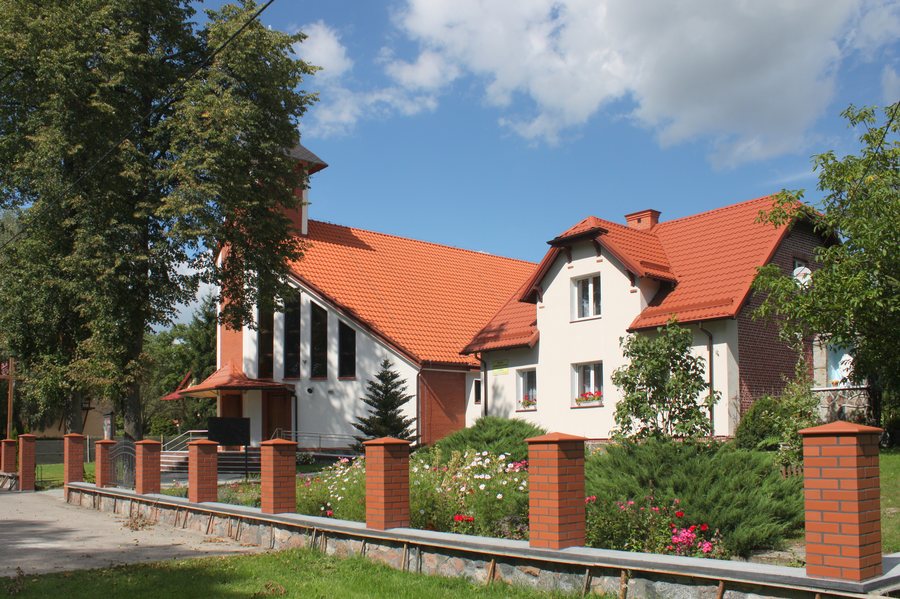
Cycling through Kosewo
The 44.9-kilometre Ernst Wiechert Cycling Route runs through Kosewo. On a cycling route through the village, you cross Road No. 16 and ride along a pavement through the village, with Lake Probarskie on your left. The road, pavement and lake provide concrete points of reference as you travel through the village. The extent of cycling and hiking routes in the immediate area is also useful for planning trips: 160 kilometres of routes have been created there. The two figures refer to different things—the named cycling route that passes through Kosewo and the routes in the surrounding area.
The lake and rental options
The municipal village beach on Lake Probarskie is a distinct point of reference for visitors considering Kosewo for its lakeside setting. One specifically named accommodation in the village is Pokoje gościnne Pod lipami. It offers rowing boats, kayaks and touring bicycles for hire. A rowing boat or kayak suits a stay focused on the water, while a touring bicycle is for cycling excursions. The municipal village beach on Lake Probarskie is a separate point of interest in the village.
Landscape and archaeological traces
The area of Kosewo covered by the development plan lies within the OCHK Jezior Legińsko-Mrągowskich landscape protection area, the protected landscape area of the Legieńsko-Mrągowskie lake district. It also lies within the Natura 2000 protected area Mazurska Ostoja Żółwia Baranowo (PLH 280055), a special area of conservation for habitats. These landscape and protected-area references add to the picture of a place between several lakes.
Archaeological finds are also part of Kosewo’s history: three burial grounds dating from the Roman influence period and the Migration Period have been identified within the village. For visitors interested in archaeological history as well as the landscape and cycling, this offers another perspective on the area.
Travel planning overview
Kosewo is on the Olsztyn–Ełk railway line. Together with the cycling route through the village and the routes in the immediate area, this is part of the village’s geographical setting. The information above presents Kosewo as a destination with clear connections to lakes, cycling routes and archaeological history.
More places
More places: Bagienice Małe, Górkło, Krutyński Piecek, Jakubowo, Zełwągi, Jora Wielka, Popowo Saleckie, Sądry.
For the broader travel overview: Mrągowski.

