
Tworylne – Historical Traces and Hiking Trails
Accommodation in Tworylne
Tworylne is now an uninhabited settlement with historical traces and various connections to hiking. Surviving relics include a ruined masonry bell tower, the remains of a German border post, and the ruins of a manor barn. A cemetery is also among the historical sites. Hiking trails pass near Tworylne or lead to the settlement. When planning your trip, it is worth considering the history and trail routes separately: the structures date from different periods, while the trails offer their own points of reference.
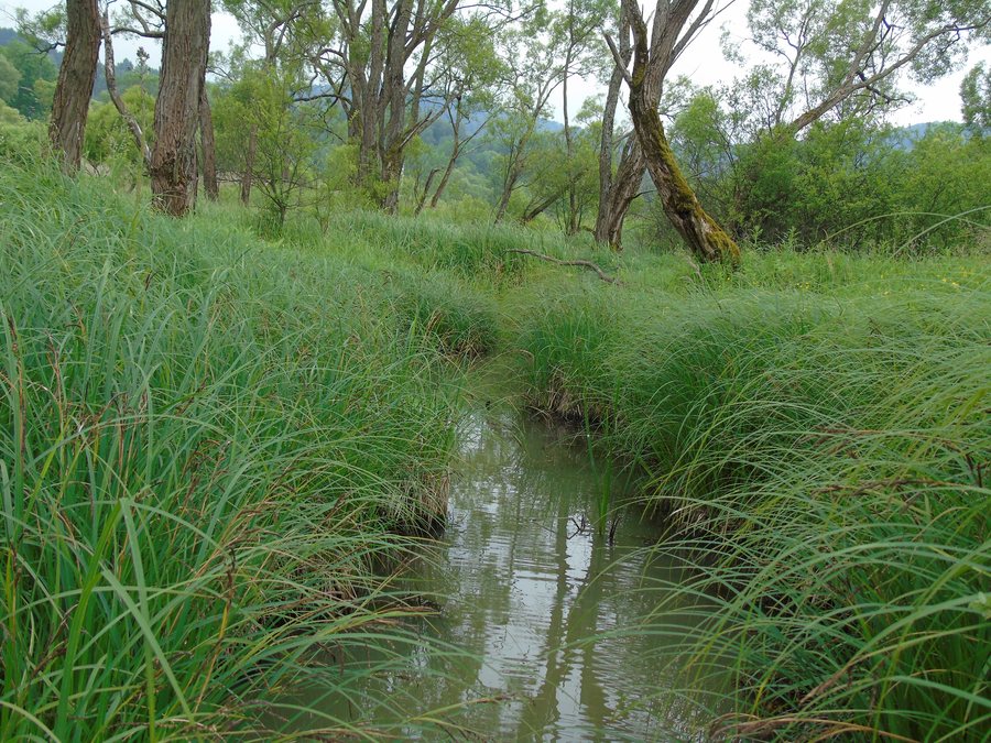 File:Tworylne. Dopływ potoku do rozlewiska bobrowego.JPG
Photo: Zbinx via Wikimedia Commons, CC BY-SA 3.0 PL
File:Tworylne. Dopływ potoku do rozlewiska bobrowego.JPG
Photo: Zbinx via Wikimedia Commons, CC BY-SA 3.0 PL
Church, Border Post, and Manor Ruins
The masonry bell tower in Tworylne is a ruin. It is a reminder of the wooden Greek Catholic Church of St. Nicholas, built in 1876. This links two different architectural forms: the surviving masonry tower remains and the memory of a wooden church. The date places the church in its historical period; the ruined bell tower is the relic described as surviving today.
Another historical trace is the remains of a German border post. It was built at the beginning of the Second World War. Together with the 19th-century church, the border post points to a later historical period. The two sites therefore differ not only in their function but also in when they date from.
The ruins of a manor barn also survive in Tworylne. An old road divides the local cemetery into two parts—a feature that connects the landscape with the history of the settlement. The crypt of a former manor chapel is nearby. Wincenty Łęcki funded this chapel toward the end of the 19th century. The location is a separate point of reference: the bell tower, border post, manor barn, and cemetery are associated with Tworylne, while the crypt is nearby.
Hiking Trails with Different Points of Reference
The green-marked PTTK hiking trail passes near the now-uninhabited settlement, crossing the peaks of Bukowina and Żołobina. The red Zatwarnica–Hulskie–Krywe–Tworylne route leads to Tworylne; at this stop are the ruins of various buildings and a cemetery. The two trails therefore relate to the area in different ways: the green trail is described by the nearby peaks, while Tworylne is a destination or stop on the red route.
An unmarked footpath also continues to Tworylne from the manor ruins in Krywe. Following this path requires navigating the terrain. The trail descriptions thus differ in specific ways, including their markings and points of reference: the peaks along the green PTTK trail, the sequence Zatwarnica–Hulskie–Krywe–Tworylne on the red route, and the manor ruins in Krywe as the starting point of the unmarked footpath. If you plan your hike around these routes, check the current conditions on the red route before your trip and be prepared to navigate the terrain on the unmarked path.
The historical sites give hiking in Tworylne a distinctive connection to the past: the red route description mentions the ruins of various buildings and a cemetery at the Tworylne stop; other architectural traces are described separately. When choosing your destination, you can therefore consider both the historical relics and the type of trail navigation that matters to your plans.
Discover more destinations: Bukowiec, Arłamów, Ropienka, Lutowiska, Krościenko, Smolnik, Zatwarnica, Polana.
For the broader travel overview: Bieszczady.

