
Lutowiska: Cultural Heritage and Views of the High Bieszczady
Accommodation in Lutowiska
Lutowiska offers two clear starting points for planning your trip: a viewpoint overlooking the High Bieszczady and historic sites in the village and its immediate surroundings. The Bieszczady National Park Information and Tourism Education Centre is also located in Lutowiska. It is the main organiser and source of information for individual visitors and tour groups heading to the High Bieszczady.
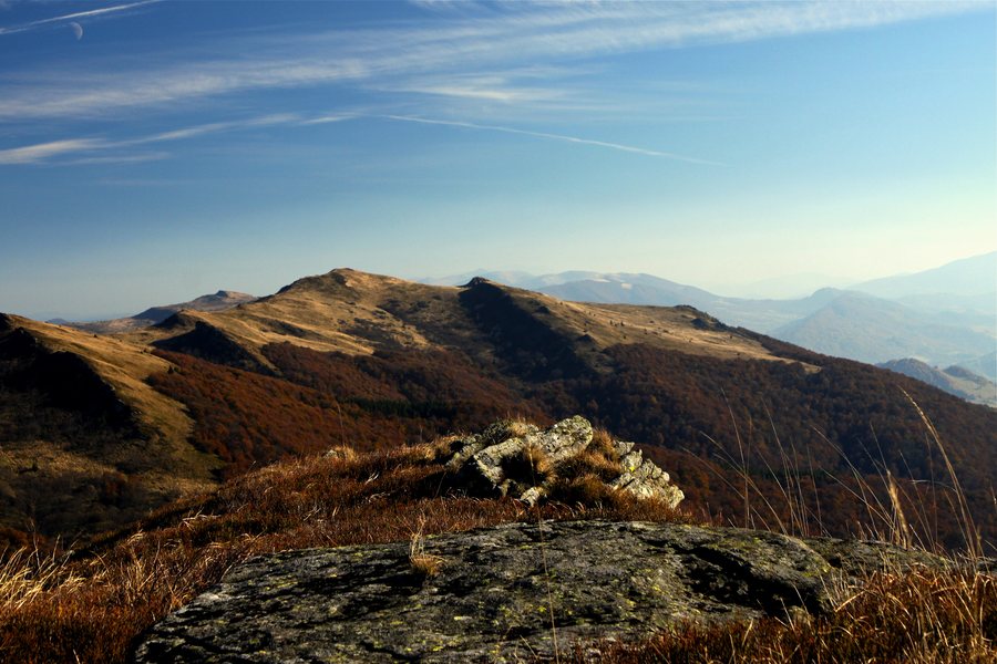 File:Gmina Lutowiska, Poland - panoramio (3).jpg
Photo: Hanc Tomasz via Wikimedia Commons, CC BY-SA 3.0
File:Gmina Lutowiska, Poland - panoramio (3).jpg
Photo: Hanc Tomasz via Wikimedia Commons, CC BY-SA 3.0
Planning visits to the High Bieszczady
The centre is open year-round. Check the current visitor arrangements before your visit. Its role connects Lutowiska with providing guidance to individual travellers and groups on their way to the High Bieszczady. This makes the village a helpful starting point for further travel planning, while the historic sights and the viewpoint offer different kinds of experiences: one is about information and organisation, the other about landscape and history.
Historic traces in Lutowiska
Lutowiska was first mentioned in 1580. Several sites illustrate different chapters in the village’s history and religious heritage. The Greek Catholic cemetery lies beside the former site of an Orthodox church and was established around the turn of the 18th and 19th centuries. Its historical context is therefore explicitly linked to a former church site.
The Jewish cemetery in Lutowiska is the second-largest Jewish cemetery in the Bieszczady mountain region, after the cemetery in Lesko. The parish church is listed in the register of historic monuments and is considered the only example of Neo-Gothic sacred architecture in the Polish Bieszczady. The cemetery, church, and historic church site represent different aspects of cultural heritage. Together with the village’s history dating back to 1580, they give your choice of destination a tangible historical connection.
The “Trzy Kultury” trail and the viewpoint
Near Lutowiska is the 13-kilometre historical and nature trail of the “Trzy Kultury” ecomuseum. In the Lutowiska area, it leads, among other places, to synagogue ruins, an old Jewish school, a former Orthodox church site, a Greek Catholic cemetery, and old Boyko houses known as chyże. Unlike the views of the High Bieszczady landscape, the trail brings together several historical and nature-related stops. Its length and sequence of themes are helpful reference points when considering what kind of discovery to include in your travel plans.
Lutowiska also has a viewpoint overlooking the High Bieszczady. This places landscape and cultural heritage side by side as distinct highlights: the viewpoint draws your gaze to the mountain landscape, while the cemeteries, church, and trail offer historical context. If you are considering a stay in Lutowiska, you can decide based on whether you would most like to enjoy the view, visit individual historic sites, or explore the trail’s stops.
Discover more destinations: Teleśnica Oszwarowa, Dwernik, Arłamów, Procisne, Bukowiec, Tworylne, Polana, Krościenko.
For the broader travel overview: Bieszczady.

.jpg)