
Discover Dwernik: village history and nature trail
Accommodation in Dwernik
Dwernik can be explored through two distinct travel interests: historical traces of the former settlement and the Dwernik–Otryt–Chmiel nature and educational trail. This gives you a clear choice when planning between a focus on history and a named route. The evidence of the former settlement relates to Dwernik; the trail leads from there via Otryt to Chmiel. In this way, local history and the route are presented as different perspectives on the destination.
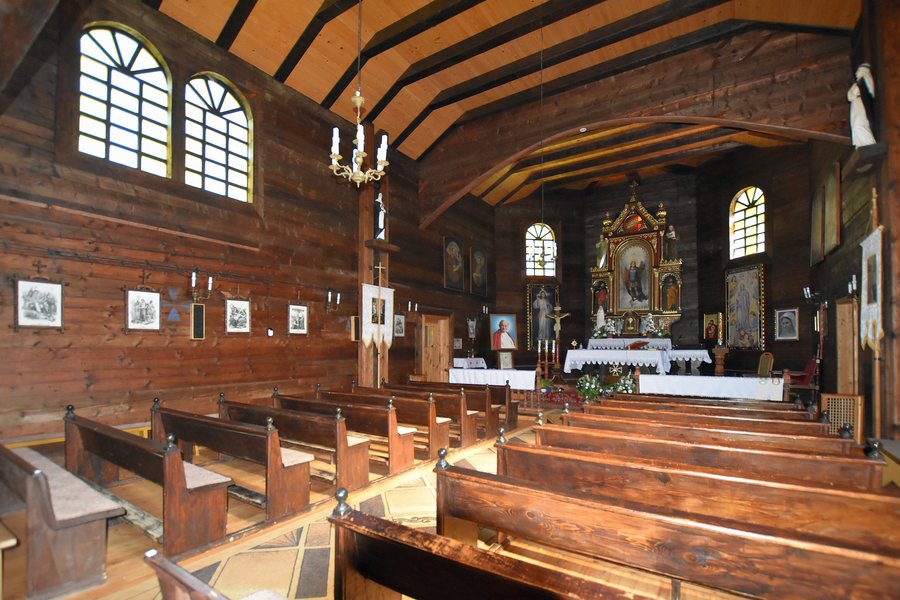 File:Dwernik, kościół św. Michała Archanioła (HB9).jpg
Photo: Henryk Bielamowicz via Wikimedia Commons, CC BY-SA 4.0
File:Dwernik, kościół św. Michała Archanioła (HB9).jpg
Photo: Henryk Bielamowicz via Wikimedia Commons, CC BY-SA 4.0
Historical traces in Dwernik
In Dwernik, the foundations of the Orthodox Church of St. Michael the Archangel, built in 1785, and a village cemetery with several gravestones remain. They bear witness to the former settlement. Only the western section of the cemetery in Dwernik, with 14 gravestones, remains. These details give the local history a concrete form: the foundations represent the former church building, while the cemetery section points to the burial ground. The date 1785 refers to the church, and the number 14 to the western section of the cemetery.
As a historical destination, Dwernik is therefore characterised by two distinct details: the date of an Orthodox church building and the limited, numbered remains of the cemetery. For you as a traveller, this combination makes the historical connection specific and links more than one piece of evidence to the former settlement.
The nature and educational trail via Otryt
The Dwernik–Otryt–Chmiel nature and educational trail is about 6.4 kilometres long and has seven stations. It leads from Dwernik via Otryt to Chmiel. The three-part name makes the sequence of places along the route clear: Dwernik is the starting point, Otryt the intermediate point and Chmiel the destination. The length and number of stations answer different planning questions: the kilometre figure describes the extent of the route, while the number of stations provides another concrete reference point for the trail. This makes it possible to consider the nature trail as a distinct travel interest alongside the historical traces of the village.
On the Otryt ridge, the trail leads to Chata Socjologa, a student hostel. It was rebuilt after a fire. The description “student hostel” identifies the building; its reconstruction after the fire is its specific historical feature. The route therefore includes not only the trail itself but also a building with a history of its own.
Which perspective suits your trip?
The information can be compared by function: 1785 dates the construction of the Orthodox church, 14 gives the number of gravestones preserved in the west, and about 6.4 kilometres and seven stations describe the nature trail. For your decision, it therefore matters not only which subjects interest you, but also whether you want to include a place-specific historical connection or a route with a named itinerary in your travel plans.
When searching for a hotel, this comparison helps you make a practical preliminary decision: first consider whether local history or the trail and its route will shape your stay more.
Discover more destinations
Discover more destinations: Teleśnica Oszwarowa, Krościenko, Tworylne, Bukowiec, Smolnik, Muczne, Polana, Stuposiany
Go to the overarching travel guide: Bieszczady.

.jpg)