
Discover Białachowo
Accommodation in Białachowo
Get to know Białachowo through its settlement pattern, a former Evangelical cemetery and a route with a stated total length. These topics offer different perspectives on the village: from its spatial layout and local history to a longer route connecting Białachowo with other places. When planning your trip, it is helpful to distinguish between these perspectives and choose the focus that suits your stay.
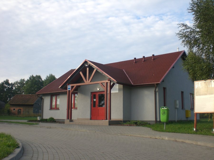
Homes and farm buildings along municipal roads
In Białachowo, homes and farm buildings are concentrated at the intersections of municipal roads. Other farm buildings are scattered across agricultural areas. The settlement pattern therefore includes both clusters of buildings at intersections and individual farmsteads in the agricultural surroundings. If you choose a place not only for individual sights but also for its spatial structure, this gives you a concrete impression of what shapes Białachowo. The description points to two different patterns, not to a single, compact village centre.
A former cemetery in the village’s history
A former Evangelical cemetery lies southeast of the village. The cemetery covers 0.30 hectares and is listed in the municipal cultural heritage register. Its condition is recorded there as satisfactory. Its historical context and specific area provide another point of reference, distinct from the settlement structure. For trip-planning purposes, the cemetery can therefore be considered part of the village’s history; the statement about its condition refers to the entry in the municipal register.
The 2019 summer family picnic
On 13 July 2019, the residents of the Sołectwo Białachowo held their annual summer family picnic. The second Bieg Białachowski o Puchar Wójta was held as part of the picnic; at the time, the race was described as a recurring event. The race should therefore be understood as part of that specific event. The date and second edition are concrete details about community life in Białachowo, but they do not amount to a current events calendar.
Food was also part of the occasion: the hosts from KGW Białachowo served homemade regional dishes and cakes. These included the Sołtysin’s pleśniak. These culinary details refer to the 2019 family picnic and show what food was served at the event. They add another dimension to the race: alongside the sporting activity, regional dishes and cakes were on the table. The picnic can thus be seen as a dated glimpse of a community summer event, not as an ongoing offer for visitors.
Białachowo on a 17-kilometre route
The 17-kilometre Szlak ogrodu dendrologicznego runs via Borzechowo, Wirty, Radziejewo, Białachowo, Zblewo and Twardy Dół, before returning to Borzechowo. Białachowo is one of the places named on a route that covers several locations; 17 kilometres refers to the total distance. For your planning, this offers a different perspective from the former cemetery or the picnic: the focus here is the route. This information helps you understand it as a longer connection, rather than mistaking the total distance for a walk solely within Białachowo.
When looking for a holiday apartment, you can first decide what you want to shape your stay in Białachowo: learning about the settlement pattern and local history, or considering the village as part of the route. These are different reasons to travel, which can be described using the details provided.
Other places
Skorzenno, Zblewo, Krąg, Dunajki, Godziszewo, Czarna Woda, Kokoszkowy, Koźmin
For the broader travel overview: Preußisch Stargard.

