
Garcz: Swimming Area, Cycling Routes and the Droga Kaszubska
Accommodation in Garcz
Garcz offers two distinct starting points for planning your day: the municipal swimming area on Lake Łapalickie and several routes that start in the village, connect there or pass through it. There are also routes of different lengths: a 4.8-kilometre secondary cycling route, a 13.2-kilometre section of the main cycling route, and the approximately 20-kilometre Droga Kaszubska in the wider region. If you are considering Garcz as a destination, you can first decide whether water, a cycling connection or a motorised excursion should shape your stay. These options involve different kinds of activities and should not be combined into a single route when planning.
Swimming Area on Lake Łapalickie
The municipal swimming area in Garcz on Lake Łapalickie has a designated swimming zone, a pier, rubbish bins and a toilet; a lifeguard is provided. Seasonal access and water quality may change. If swimming is part of your travel plans, check both before your visit. The swimming area is therefore a specific focus for water-based activities in the village, while the routes involve different decisions. For a day of swimming, the seasonal arrangements and current water quality are especially important.
Cycling Routes with Different Itineraries
The 4.8-kilometre Sianowo–Garcz secondary cycling route connects to the main cycling route in Garcz. It is the shorter of the two cycling connections listed here. The 13.2-kilometre section of the main cycling route runs from Kartuzy to Złota Góra via Łapalice, Garcz, Chmielno, Zawory and Ręboszewo. Their lengths and itineraries therefore answer different planning questions: for the secondary route, the endpoint at Sianowo and the connection in Garcz are key; for the main-route section, it is the route through several named places. When choosing a route, you can consider not only the number of kilometres but also the connection you want or the longer route itinerary. In both cases, Garcz is a specific point of reference, but it serves a different function: it is the connection point for the secondary route and one of the places along the main-route section.
Droga Kaszubska: Regional Route and Traffic
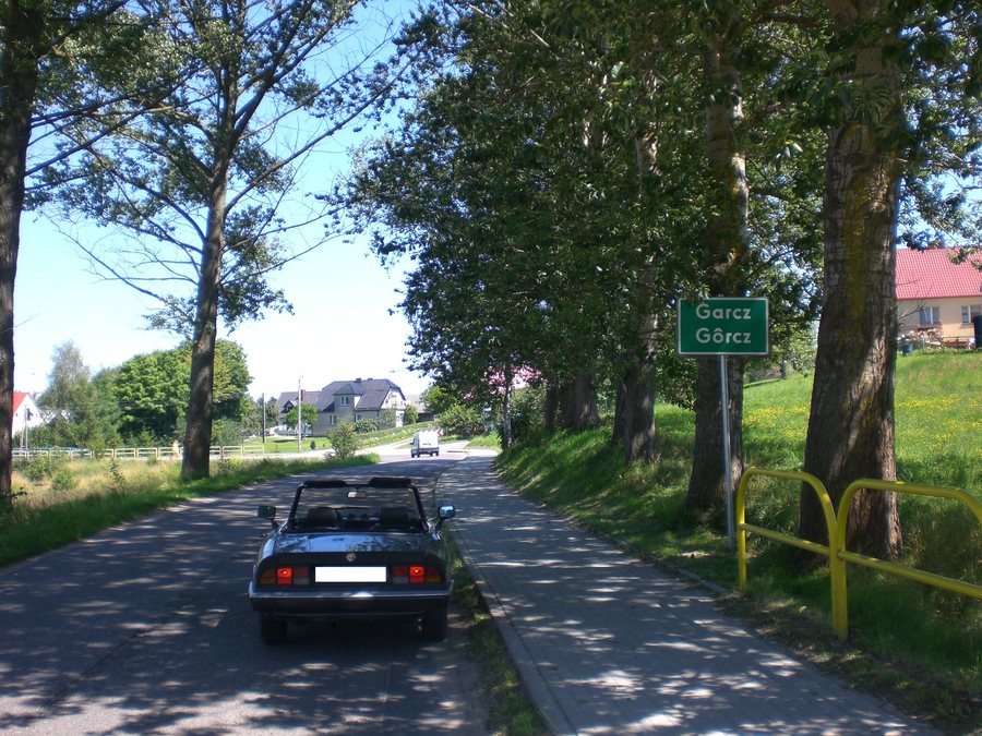
The Droga Kaszubska is distinct from these cycling connections. Its original route, intended for motorised excursions, begins in the village of Garcz. In the wider region, the approximately 20-kilometre route passes through the central part of the Kashubian Landscape Park. It can also be cycled, but heavy car traffic can make the ride dangerous and unattractive. So if you are considering cycling the Droga Kaszubska, do not plan based on the route length alone: also take traffic conditions into account, as they can change, and check them in advance. This keeps the motorised excursion route distinct from the separate cycling connections, even though the Droga Kaszubska can also be cycled.
The geographic scope matters when comparing these routes: the 4.8 kilometres connect Sianowo with Garcz, while the 13.2 kilometres refer to a section of the main route that passes through Garcz. By contrast, the approximately 20 kilometres of the Droga Kaszubska are in the wider region, even though its original route begins in the village. This helps distinguish the local connection from the full route.
Discover more destinations: Zawory, Bukowinki, Lemany, Kamienica Krolewska, Brodnica Dolna, Nowa Sikorska Huta, Stare Czaple, Banino.
For the main travel overview: Kartuzy.

