
Gruzka: Esker Ridges and Cultural History
Accommodation in Gruzka
Gruzka can be understood through three clearly distinct themes: two esker ridges, two cultural sites in the village, and the river network of the Kleszczele municipality. Geographically, the view extends from the course of the ridges through Gruzka, Dasze, and Czeremcha to the municipal level. The village’s history includes a mass grave from 1939 and a sepulchral site, each offering a different historical perspective. This allows the landscape and cultural heritage to be considered as distinct aspects of the destination.
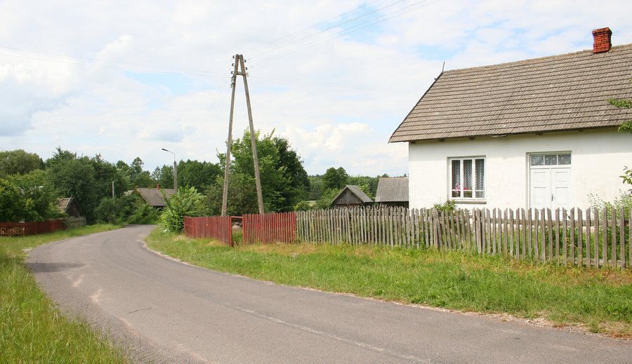
Landscape along a route
Two esker ridges run from Gruzka through Dasze to Czeremcha. The number identifies two ridges; the sequence of villages also makes their geographical course tangible. Gruzka is therefore part of a landscape description that extends beyond the village name. For orientation, this is a different approach from a single historical site: the focus here is on the spatial extent of the ridges, not on a specific point. If you take landforms into account when choosing a destination in Poland, this description offers a concrete reference point that brings together several named places along one route. You can consider the ridges as a landscape feature and distinguish them from the cultural features tied to particular places.
Cultural sites: two different classifications
A mass grave of civilians dating from 1939 is located in Gruzka and is classified as a war grave. Kurhan, site 1, is a sepulchral site listed in the monument register. The two features are not interchangeable: the mass grave is associated with the year 1939 and its classification as a war grave; for Kurhan, the focus is on the sepulchral nature of the site and its listing in the register. “Sepulchral” refers to burial and graves, explaining the technical term. For a cultural-historical perspective on Gruzka, this distinction is more useful than a broad, catch-all label: you can consider the two themes separately and see which details define each point of reference.
Rivers at the municipal level
Another geographical theme belongs at the municipal level: the river network of the Kleszczele municipality includes the Nurzec and its tributary, the Dobrowódka, as well as the Policzna and the Biała. This classification differs from the description of the esker ridges: the river network is summarized for the municipality, while the ridges are described by their course from Gruzka through Dasze to Czeremcha. For orientation, it is helpful to keep these different scales distinct. For the river network, the relationship between the Nurzec and the Dobrowódka is also important; the Policzna and the Biała are named as additional rivers.
This provides a clear framework for choosing a destination: the two ridges offer a landscape spanning several places; the cultural sites provide two distinct historical points of reference; and the river network broadens the geographical perspective to include the Kleszczele municipality. If you plan your trip to Poland around landforms, your focus will differ from that of a cultural-historical visit. This makes it possible to understand Gruzka through specific features before looking for a hotel or comparing other destinations.
Discover more destinations
Discover more destinations: Tarnopol, Krynica, Trześcianka, Leśna, Pogorzelce, Bialowieza, Kleszczele, Narewka.
For the main travel overview: Hajnowski.

