
Kosewo – a distinctive pond and Fort II
Accommodation in Kosewo
You can get to know Kosewo through its layout and a distinctive structure. The village is built around a large pond that is characteristic of the area; this connection to water describes not just a single attraction, but the basic layout of the village. Fort II Kosewo offers another perspective: it is part of the first ring of forts around the Modlin Fortress, linking the village’s name to a wider complex of military structures. There is also a branch of the Pomiechówek Municipal Public Library. Kosewo therefore has several distinct points of reference: a defining pond, a well-preserved fort and a municipal facility. When planning a stay, you can first decide whether you would like to focus on the distinctive layout of the village, its military heritage or its wider landscape setting.
Fort II Kosewo and the Modlin ring of forts
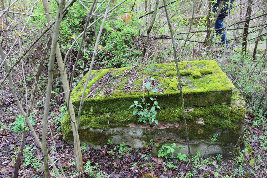
Fort II Kosewo is part of the first ring of forts around the Modlin Fortress. This places the structure within a wider system of fortifications, while keeping the focus on the individual fort. The complex is well preserved and features military architectural elements from different periods, built from brick and concrete and incorporating armour plating. This offers two distinct ways to view it: as part of the ring of forts and through the specific features of its architectural elements. The variety of periods and the materials mentioned make the description vivid. Anyone interested in military architecture can consider Fort II both in the context of the Modlin Fortress and through its preserved elements. This gives the village a specific cultural and historical theme that goes beyond the fort’s name.
The village pond and the Wkra in the wider travel area
The landscape setting also has its own scale. The Wkra Valley Landscape Protected Area covers a 1.1-kilometre stretch of the Wkra between Szczypiorno and Kosewo. The named endpoints give this regional connection a clear form. By comparison, the pond is the most immediate indication of Kosewo’s layout: the village is built around it, while the reference to the Wkra Valley describes a stretch of river in the wider travel area. Two distinct connections to water are therefore brought together: one shapes the village, while the other draws attention to the Wkra and the protected landscape area. This distinction can help you separate the character of the village from its wider landscape context.
A municipal point of reference
Kosewo is also home to a branch of the Pomiechówek Municipal Public Library. It complements the landscape and historical themes with a municipal point of reference. If you would like to include the branch in your plans, please check its current availability before visiting.
Which perspective suits your stay?
Your choice of Kosewo as a destination may depend on which aspect interests you most. If the layout of the village is your main focus, its large, distinctive pond is the most telling feature. For a cultural and historical perspective, Fort II—with its place in the first ring of forts and its well-preserved architectural elements—offers a concrete starting point. The reference to the protected landscape area, in turn, leads to a regional perspective on the Wkra. These distinctions can help you understand Kosewo through its layout, the fort or its wider landscape setting.
Discover more destinations: Kikoły, Leoncin, Śniadowo, Nowy Dwór Mazowiecki, Zakroczym, Smoszewo, Wójtostwo, Henrysin
For the broader travel overview: Nowodworski.

