
Tama on the Czarna Konecka
Accommodation in Tama
Tama combines a direct connection to the river with traces of history in the surrounding area. The informal kayak route can be paddled beneath the wooden road bridge over the Czarna Konecka; the river and the nearby historic site offer distinct points of interest. Tama is also part of the Konecko-Łopuszniański Landscape Protection Area. This makes the river, landscape and history separate themes to consider when planning your trip.
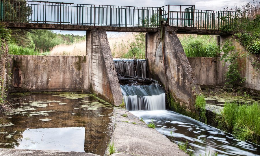
Bridge and road connections
A municipal description dated 14 August 2025 mentions the wooden road bridge over the Czarna Konecka on municipal road 003116T, which runs between Machory and Tama. The bridge is 10.45 metres long and 6.30 metres wide. The roadway itself has different dimensions: 8.30 metres long and 5.90 metres wide. The two pairs of measurements therefore refer to different parts of the structure and should not be confused.
Another road connection follows municipal road 003158T on the Lipa–Wyszyna Machorowska–Tama route. This alignment was described in connection with a municipal road reconstruction project from 2020. The two road numbers thus provide different reference points for Tama and its connections.
Kayak route on the Czarna Konecka
The 85-kilometre informal kayak route on the Czarna Maleniecka, also known as the Czarna Konecka, is not signposted. Near Tama, you can access it at the Maleniec–Machory–Tama road bridge. The bridge lies on the route at river kilometre 34.0: the 85 kilometres describe the length of the kayak route, while the kilometre figure indicates the bridge’s position along the river. Beyond the bridge, the Czarna Maleniecka runs straight, wide and regulated in the direction of Kołoniec.
Seasonal conditions matter when paddling: water levels, obstacles and navigability can vary. Check these factors before planning a kayak trip. The classification as more accessible to beginners does not apply generally to Tama either: it refers to the municipal section of the Czarna Maleniecka between Cieklińsko and Kołoniec, which is regulated for most of its length. The regulation works there were completed between 1975 and 1980.
Landscape and historical traces
Tama lies within the Konecko-Łopuszniański Landscape Protection Area; this designation appears in an older regional planning document. The area also has a historical connection to the surrounding villages: the remains of a cholera cemetery from the late 19th century survive in the forest near Tama. People from nearby villages, including Żarnów and Maleniec, are buried there.
A local historical account describes access to the cemetery via a forest track from Tama towards the paved Maleniec–Wyszyna Rudzka road. Check local conditions before visiting. An account from 2012 mentions three surviving stone grave markers; their number may have changed since then. The cemetery thus adds a distinct historical perspective on the area to its connection with the river.
Tama as a place to stay
If you are considering Tama as a base for your stay in Poland, you can plan around different interests: the kayak route, its location in a landscape protection area or the history of the surrounding area. Allow for seasonal changes in conditions when planning a river trip. If visiting the cemetery, it is advisable to check locally on the forest-track access described above. These points can help you match your accommodation choice to your planned activities.
Discover more destinations
Discover more destinations: Fałków, Sielpia Wielka, Ruda Maleniecka, Strzeboszow, Stąporków, Konskie.
For the main travel overview: Końskie.

